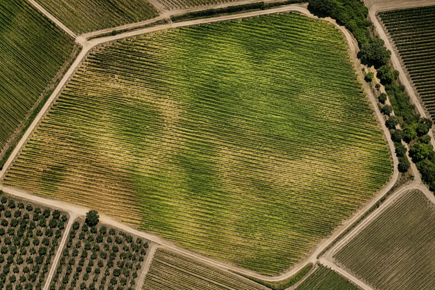
Understand crop development
Track crop development and field variability over time to identify changes, compare areas and understand where attention may be needed.
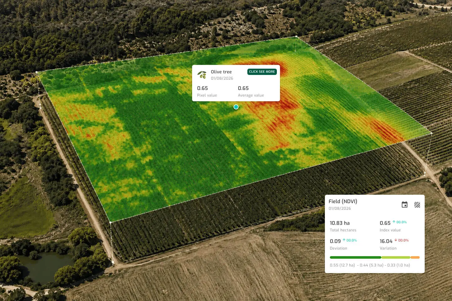
Monitor crop development, growing conditions and field variability to identify risks earlier and make better-informed decisions throughout the season.
Understand how your crops are developing and identify changing field conditions earlier, so you can act at the right time throughout the season.
Track crop development and field variability over time to identify changes, compare areas and understand where attention may be needed.
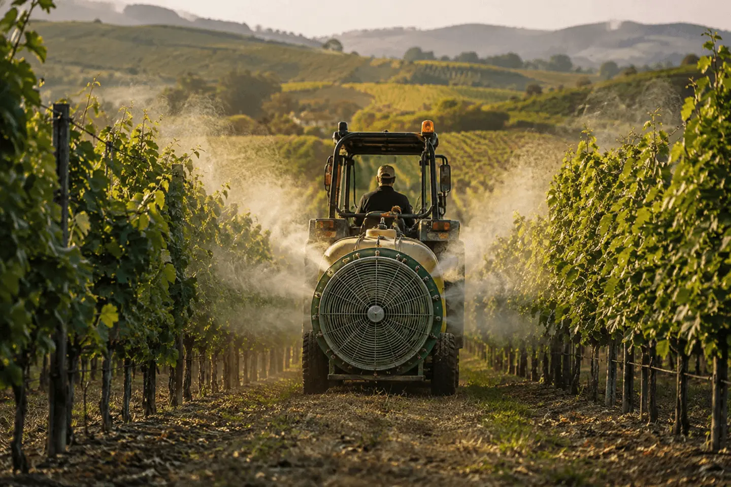
Follow the conditions that influence crop development and field operations to better time treatments and other important interventions.
Bring satellite imagery, crop development and field conditions together to understand how your crops are evolving, identify potential risks and make better-informed decisions throughout the season.
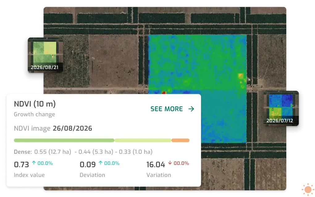
Use satellite imagery to monitor crop variability across your fields and follow how conditions change throughout the season. Compare different areas and dates to identify patterns, detect potential issues earlier and focus your attention where it is needed most.
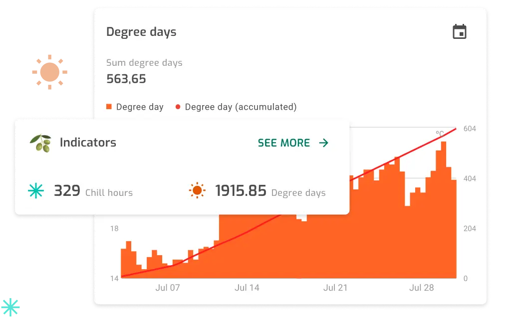
Track growing degree days and chill hours to better understand crop development and the conditions associated with key growth stages and disease risk. Follow accumulated values throughout the season to support better timing of monitoring and field interventions.
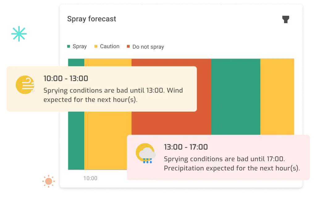
Use field conditions and weather data to identify suitable periods for spraying and plan treatments with greater confidence. Quickly understand when conditions are favourable and avoid periods where weather may reduce treatment effectiveness.
Access Farmoot on the web or download the mobile app and start exploring smarter ways to monitor your fields.


Explore customer results, connected devices and practical resources to get more from your crop monitoring.
Find out how Louricoop achieved 12.6% higher productivity and 32% savings in water and energy with Agroop's technology.
Helping growers monitor crop conditions and field variability across their farms.
Learn how field data, crop indicators and satellite imagery can help you monitor crop development and identify potential risks earlier.
Connect soil and field sensors to Farmoot and bring real-time field data into your crop monitoring decisions.
Explore Monitoring Devices























Talk to one of our specialists to understand your fields, identify what you need to monitor and discover how Agroop can support better crop decisions throughout the season.